
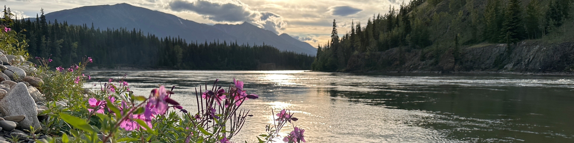
View of Tū Désdés Tūé' (Pelly River) with fireweed in foreground and mountains in background
© Jeremy Williams/River Voices
Tū Łī́dlini (Ross River) area: Exploring the potential for a new protected area
Ross River Dena Council, the Government of Yukon and Parks Canada are working together to explore options for a potential new protected area in the Tū Łī́dlini (Ross River) area.
Project description
Ross River Dena Council, the Government of Yukon and Parks Canada are working together to conduct a feasibility assessment exploring options for a potential new protected area in the Tū Łī́dlini (Ross River) area.
The Tū Łī́dlini (Ross River) Dena have stewarded and protected this area since time immemorial. These lands and waters are profoundly tied to Dena culture, and the health of the Tū Łī́dlini Dena is deeply connected to the health of this area. Respect for land is embedded within Kaska Dena language, laws, and ways of life. Ross River Dena Council has proposed an Indigenous Protected and Conserved Area in the Tū Łī́dlini (Ross River) area. Tū Łī́dlini Dena are part of the Kaska Dena Nation.
A study area for this feasibility assessment has been identified within the Tū Łī́dlini (Ross River) area (see map in About the study area section below).
Memorandum of understanding
Under a Memorandum of Understanding signed on December 4, 2024, the 3 governments are collaborating to:
- identify areas within the study area that may be suitable and feasible for potential protection
- assess legal protection tools that may be suitable for use in this area
The protection tools will be assessed on their ability to support:
- a long-term commitment to conservation
- cultural protection and traditional land use
- Indigenous rights and stewardship responsibilities
Partners
This initiative is a collaborative undertaking by Ross River Dena Council, the Government of Yukon and Parks Canada.
This partnership is based on respect, co-operation, and a vision of shared stewardship. The partners are committed to advancing reconciliation in a meaningful way through government-to-government-to-government relationships. They strive to uphold the principles of reconciliation in all aspects of their work.

Steering committee
The steering committee is responsible for conducting a public engagement and completing the feasibility assessment. The steering committee is made up of representatives of each government.
Feasibility assessment
As part of the feasibility assessment, the steering committee will:
- identify areas within the study area that may be appropriate for protection
- identify legal protection tools that could be used to establish a protected area
- gather information and feedback through a public engagement process
- carefully consider existing land uses, tenures, rights and interests in the study area
- assess any potential social, environmental, cultural and economic opportunities and challenges
The steering committee will provide a report with recommendations to the 3 governments on:
- whether it is feasible, practical and desirable to create one or more protected areas in the study area and under what conditions
- locations within the study area that may be suitable for protection
- the legal tools that could be used to establish a protected area
Once the feasibility assessment is complete, the 3 governments will decide on next steps.
The feasibility assessment is a multi-step process to help the 3 governments decide whether protecting portions of the Tū Łī́dlini (Ross River) area is feasible, practical and desirable. It will also ensure existing land uses and environmental, cultural, and economic interests are considered.
The feasibility assessment process is different from other processes that are familiar in the Yukon, like land use planning established through the Umbrella Final Agreement and Yukon First Nations Final Agreements. This is because the Ross River Dena Council has not signed a treaty agreement with the governments of Yukon and Canada. The Tū Łī́dlini (Ross River) Dena are part of the Kaska Dena Nation and have constitutionally protected rights like all Yukon First Nations Peoples. Kaska Dena have not ceded or surrendered Aboriginal rights and title.
Project status
The steering committee has developed a process for undertaking the feasibility assessment. Currently the steering committee is gathering knowledge and information about the study area. No decisions have been made at this time about creating any protected areas in the study area.
Public engagement
The steering committee will gather information and feedback through a public engagement later in the feasibility assessment process.
This will help the steering committee identify and carefully consider the social, environmental, cultural, and economic interests and other values in the study area.
The information and feedback received during the public engagement process will inform and guide the steering committee’s report and recommendations to the 3 governments.
The 3 governments will consider the information and feedback in their decision-making.
About the study area
In this section
Cultural connection
Tū Łī́dlini means "where the waters meet" in the Kaska Dena language. It is a place of tremendous cultural and spiritual significance to the Tū Łī́dlini Dena. It contains sacred areas, sensitive cultural areas and historic sites. The Tū Łī́dlini Dena have used, cared for and travelled extensively through this area since time immemorial. They continue to carry an inherent responsibility to steward the land, waters and all living relations for future generations. This responsibility is rooted in Kaska law.
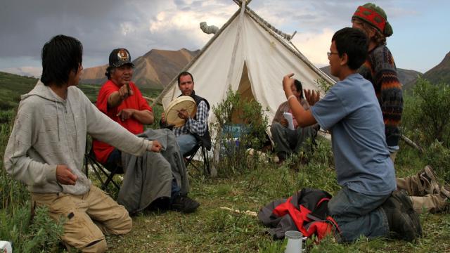
©Norman Barichello
Ecology
This area also has significant biodiversity and contains important habitat for:
- 7 herds of northern mountain caribou, including known winter ranges for 3 herds – this is a culturally and ecologically important species at risk
- other species at risk – such as grizzly bear, wolverine and collared pika
- fish – including Arctic grayling, whitefish and salmon
- birds – including sandhill cranes and other migratory species
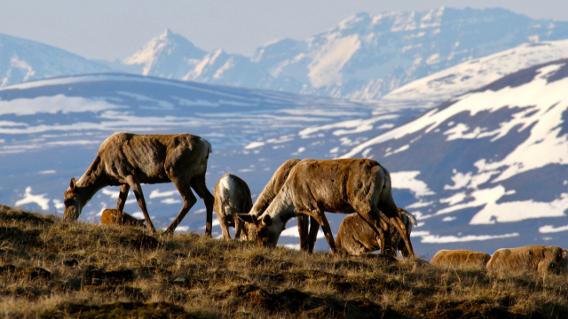
©Norman Barichello
Land uses
The study area supports a mix of land uses including hunting, outfitting, tourism, trapping and mining exploration and development. There has been a prohibition order preventing the staking of new mineral claims in effect in the study area since 2013.
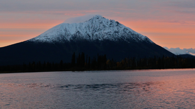
©Norman Barichello
Size and location
The study area spans approximately 39,300 square kilometres. It does not include:
- areas that overlap with the Traditional Territories of Yukon First Nations with Final Agreements
- areas with existing Class 3 and 4 quartz mining approvals as of the December 4, 2024 signing date of the Memorandum of Understanding
Neither the Ross River Dena Council’s proposed Indigenous Protected and Conserved Area nor the study area are proposed boundaries for a protected area. The 3 governments will work to identify areas within the study area that may be suitable for protection through the feasibility assessment.
Map: Study area for the feasibility assessment of a potential new protected area in the Tū Łī́dlini (Ross River) area
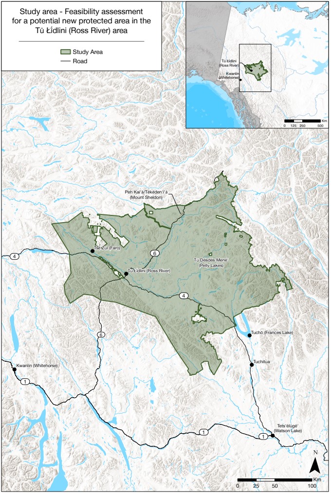
Study area for the feasibility assessment of a potential new protected area in the Tū Łī́dlini (Ross River) area — Text version
This map shows the study area (shown in light green on the map) for a feasibility assessment exploring the potential for a new protected area in in the Tū Łī́dlini (Ross River) area.
The study area’s eastern boundary is approximately 200 km northeast of Whitehorse. The study area extends east to the Northwest Territories border, south to an area west of Tuchō (Frances Lake) and Tuchitua, and west past the communities of Tū Łī́dlini (Ross River) and Tsē Zūl (Faro).
The study area excludes several areas which are subject to pre-existing mineral exploration and development authorizations issued by the Government of Yukon. These areas are primarily along the north, east, and south boundaries.
Highway 4 (east-west) and Highway 6 (north-south) both pass through the study area.
Next steps
No decisions have been made at this time about creating any protected areas in the study area.
Once the feasibility assessment is complete, the 3 governments will decide on next steps.
Contact us
Contact the 3 governments (care of Parks Canada) at tulidlini@pc.gc.ca.
- Date modified :